Nepal lies in South Asia between two large nations. The country sits between India and China along the central Himalayan range. Nepal stretches from the plains of the south to the highest mountains on Earth in the north. The nation covers an area of about 147,516 square kilometers.
Many travelers search for Nepal on the world map because the country holds the highest peak on Earth, Mount Everest. The mountain stands on the border between Nepal and Tibet and reaches 8,848.86 meters above sea level.
Nepal forms part of the Himalayan belt in South Asia. The country sits between roughly 26° and 31° North latitude and 80° and 89° East longitude.
Nepal’s Position in the World
Nepal sits in the central part of Asia’s Himalayan region. The country stands between the Tibetan Plateau to the north and the Gangetic Plain to the south.
Key geographic facts:
• Region: South Asia
• Continent: Asia
• Latitude: 26°N to 31°N
• Longitude: 80°E to 89°E
• Total area: 147,516 km²
Nepal has no coastline. The country is landlocked and depends on neighboring countries for sea access.
The closest ocean access lies through ports in India such as Kolkata.
Countries Bordering Nepal
Nepal shares borders with two nations only.
North border
• China (Tibet Autonomous Region)
South, East, and West border
• India
Total border length measures about 2,926 km.
The open border between Nepal and India allows free movement for citizens of both countries. This relationship shapes trade, tourism, and culture.
Nepal’s Location in Asia
Nepal lies in the southern part of Asia within the Himalayan mountain system. The country forms part of the Indian subcontinent region.
Nearby countries include:
• Bhutan to the east
• Bangladesh southeast (about 27 km away across India)
• Pakistan west of India
• Myanmar east of India
Nepal sits near the center of the Himalayan arc stretching from Pakistan to Myanmar.
Nepal’s Geographic Regions
Nepal contains three major geographic zones from south to north.
Terai Plains
The southern belt connects with the Gangetic plains of India. This region contains fertile farmland and dense population centers.
Important cities include:
• Biratnagar
• Janakpur
• Birgunj
The Terai produces rice, wheat, sugarcane, and vegetables.
Hill Region
The middle region includes valleys, forests, and historic settlements. Nepal’s capital city sits here.
The capital of Nepal is Kathmandu. The city lies inside the Kathmandu Valley at about 1,400 meters elevation.
Nearby hill cities include:
• Pokhara
• Bandipur
• Tansen
This region attracts travelers interested in culture, temples, and mountain views.
Himalayan Region
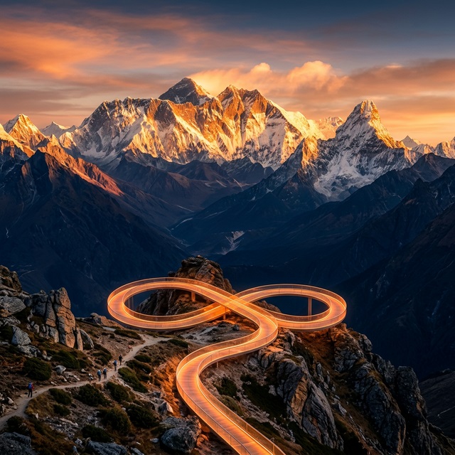
The northern belt holds the highest mountains in the world. Eight of the fourteen peaks above 8,000 meters stand in Nepal.
These peaks include:
• Mount Everest – 8,848.86 m
• Kanchenjunga – 8,586 m
• Lhotse – 8,516 m
• Makalu – 8,485 m
• Annapurna I – 8,091 m
The Himalayan region draws trekkers, climbers, and adventure travelers from across the world.
Nepal’s Distance from Major Cities
Approximate air distances to Nepal:
• Kathmandu to New Delhi: about 800 km
• Kathmandu to Beijing: about 2,900 km
• Kathmandu to Bangkok: about 2,200 km
• Kathmandu to Dubai: about 3,000 km
• Kathmandu to London: about 7,300 km
International flights arrive at Tribhuvan International Airport in Kathmandu.
Why Nepal’s Location Is Unique
Nepal’s location creates extraordinary geographic diversity.
Within a short north-south distance of about 200 kilometers, elevation rises from 60 meters in the Terai plains to 8,848 meters at Mount Everest.
Few countries on Earth show such dramatic elevation change within a small area.
This geographic variation produces:
• Multiple climate zones
• Rich biodiversity
• Diverse cultures and ethnic groups
• Famous trekking routes in the Himalayas
Nepal’s Location for Travelers
Nepal’s position in the Himalayas makes the country one of the world’s top adventure destinations.
Travelers visit Nepal for:
• Trekking in the Everest and Annapurna regions
• Mountaineering expeditions
• Cultural heritage in Kathmandu Valley
• Wildlife safaris in the Terai
• Himalayan helicopter tours and scenic mountain flights
Popular trekking areas include:
• Everest Base Camp
• Annapurna Base Camp
• Langtang Valley
• Manaslu Circuit
These regions sit directly along the Himalayan range that forms Nepal’s northern boundary.
Quick Facts About Nepal’s Location
• Nepal sits in South Asia.
• The country lies between India and China.
• Nepal stands along the Himalayan mountain range.
• Mount Everest lies on the Nepal–Tibet border.
• Nepal covers 147,516 square kilometers.
• Elevation ranges from 60 m to 8,848.86 m.
Conclusion
Nepal lies in South Asia between India and China along the Himalayan mountain range. The country holds the highest mountains on Earth, including Mount Everest. Despite small geographic size, Nepal contains plains, hills, and extreme alpine landscapes.
This unique location shapes Nepal’s culture, climate, wildlife, and tourism industry. Travelers from around the world visit Nepal to experience Himalayan trekking, mountain flights, ancient temples, and breathtaking landscapes.
Nepal’s position on the world map places the country at the heart of the Himalayas, one of the most extraordinary geographic regions on Earth.
Leave a Reply